
But now for the days prior to visiting x-man---our anniversary trip. After a drive of five hours, we checked into the park lodge which was quite nice and at a $60-a-night special rate, a good savings. On the Saturday afternoon of our arrival, the lodge was busy with the activities of a summer festival. There were lots of people in the huge swimming pool, kids on the rock climbing wall, and some bungie jumpy thing. Inside a newly built shelter at the foot of the hill behind the lodge there were arts and crafts tables with of all kinds of things for sale. People were sitting at picnic tables eating food, dogs lay at their feet and children were running in and out. It was sort of like a family get-together. A wonderful Celtic music group of four was singing and playing for the crowd. We liked their music so much we bought the CD, "Wolf Creek Session - Between Two Shores." We also bought some honey made from the tulip poplar tree.

In the early evening we took a very short walk around the grounds of the lodge which has several easy trails. We came upon this deer grazing in the high grass. It clearly had some health problem, as he did not try to avoid us and had terrible mange.
The next morning we headed out to one of our favorite areas in West Virginia, Dolly Sods. This is a misnomer based on the name of the Dahle family which owned the area. This German family raised cattle on the high rolling hills before it became a nature park on one side and a private hunting area on the other. It is a unique ecosystem in that the climate is much like that of Canada with places as high as 4,000 feet. Weather is quickly changeable at that height and so you have to be aware when camping or hiking. This place has special memories for my husband and I as we have been hiking and camping here when the children were younger.
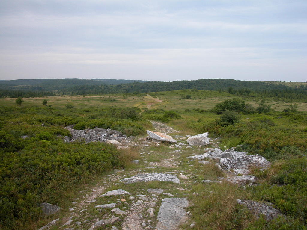
We selected one of many trails...all of which are fairly level at the end of the road. Our trail which was a combination of several numbered trails ended up being 4.5 miles in and 4.5 miles out. I know this, as my husband is enamoured of his gadget GPS. This is the trail head labeled Bear Rocks Trail #522, which we didn't exactly follow. We stopped and talked to some young campers that had just come out and they provided us with a map they used and recommended a good day hike. We were passed by three horseback riders and their little beagle as we reached the trees at the end of the picture above. But that was really the only people we saw the whole time.
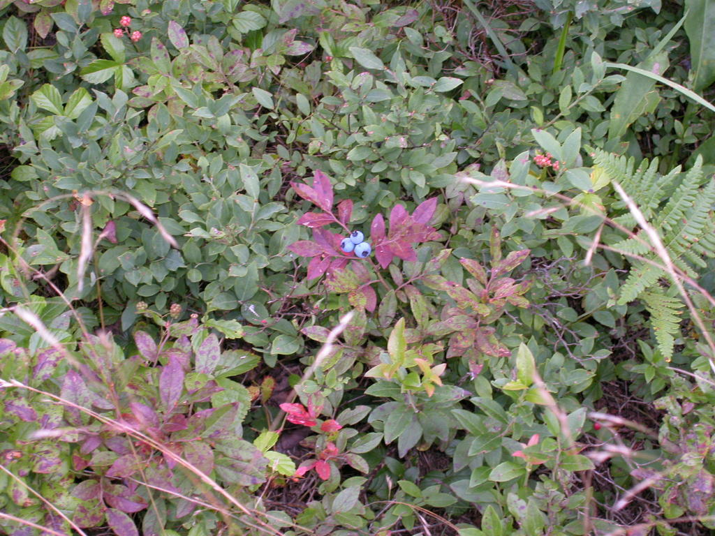
We were surprised that the park provided snacks this late in the season. There were two types of blueberries. The blue ones were the sweetest, but the darker blue berries had a pungent flavor like fine wine. We felt very healthy eating them and were sorry that the horseman missed this stop.
Once we cleared the first set of trees the trail becomes less clear as the tall grasses cover our footprints. Thus the value of the GPS so at least we can get back to where we have been.

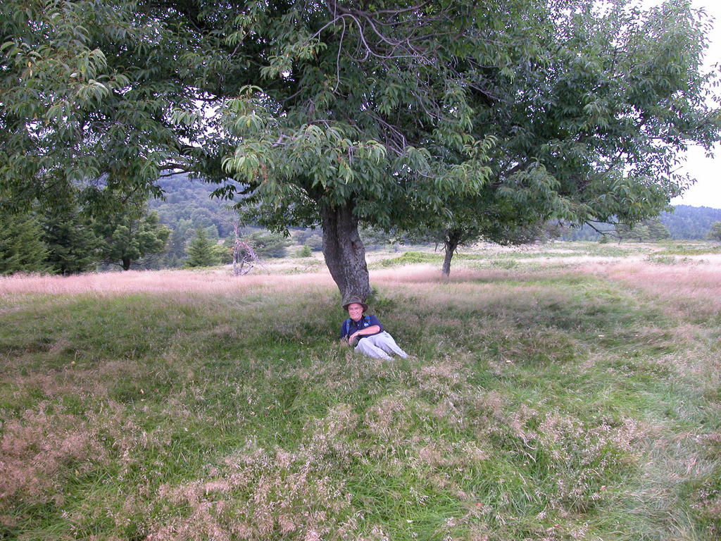
That square thing on hubby's head is the GPS---he likes to wear it that way. He always was a fashion maven.
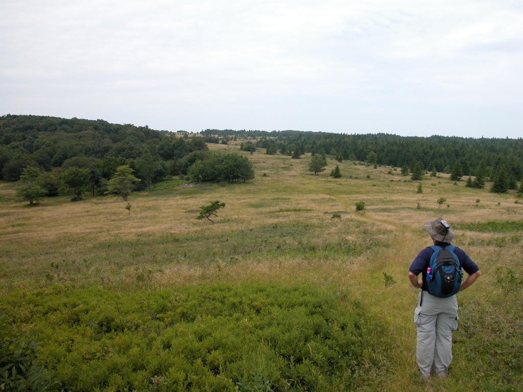
 We still have to make it over the next knoll in the distance before we can justify a rest.
At the top of that hill it was so lovely and ended up being a perfect spot to take a break. The breeze was gentle and the weather had not yet heated up by mid-morning, although the afternoon of our return was quite hot. We were high on the hills and the breeze was so welcome as were the clouds that drifted between us and the sun.
We came to various steel posts at times, some with directions and some just posts to indicate the trail. But it took careful observation to make sure we did not get lost on some other footpath. This area is so open and beautiful that one can hike for days.
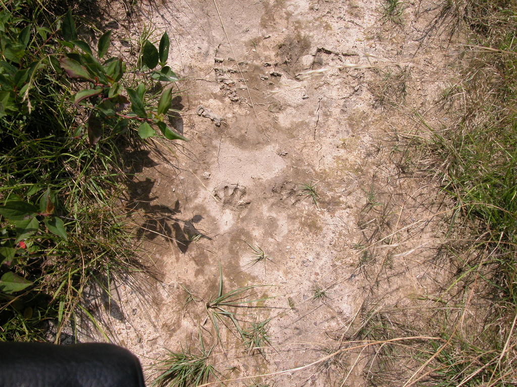
The terrain changes from rolling hills to marsh/bog valleys that support the blueberries and cranberries. It can get quite muddy, so you have to wear good hiking shoes, which we did. We spotted the footprints in the mud below. Seemed to be too big for a mink or martin and probably not a raccoon. Where is Daniel Boone when you need him?

Finally--the crest of the ridge and our reward is the view. Time for lunch, a break and we head back out.
Great photo journal piece! And I didn't even have to leave home! Love the photo of the deer and both the ones with your husband in them (not sure what GPS stands for, did I miss something?). By the way my bumper sticker says: When Jesus said loved your enemy, I think he probably meant don't kill them.
ReplyDeleteGPS means Global Positioning System and is a radio navigation unit that uses at least three of the 24 satellites to determine where you are. My husband's little gadget also allows us to mark "waypoints" or areas of interest so that we can go back and revisit or not get lost. We did not find the owl nest that we marked years ago, though.
ReplyDeleteThat is one heck of a hike. And, that poor deer. It reminds me of a plastic deer I used to have and it was covered in a soft velvet. It was old and had patches of the velvet rubbed off of it, too.
ReplyDeleteHi Tabor:
ReplyDeleteI must say you do one heck of a job with your photo journaling! These are just so lovely to see.
ReplyDelete